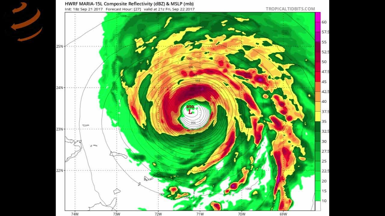
- Tropical Storm Ida had maximum sustained winds of about 40 mph Thursday afternoon as it formed near Jamaica.
- The National Hurricane Center said the system will undergo "rapid intensification" and be "near major hurricane strength when it approaches the northern Gulf coast on Sunday."
- The depression is forecast to deliver anywhere from 6 to 12 inches of rain over parts of Jamaica, Cuba and the Cayman islands.
Hurricane watches were issued for several Gulf Coast states Friday morning as Tropical Storm Ida, which formed in the Caribbean Sea, barreled toward the southern U.S. with forecasters warning it could rapidly strengthen into one of the strongest storms of the Atlantic hurricane season.
The warnings were issued along the Gulf Coast of Louisiana, including New Orleans, Mississippi and parts of the Alabama coastline. A tropical storm watch was also issued along parts of the Alabama coastline to the Florida border.
A tropical storm warning for the Cayman Islands was discontinued Friday morning but remains in effect for two of the islands: Little Cayman and Cayman Brac.
The system is taking aim at the U.S. Gulf Coast, but conditions appear right for the storm to cause extreme weather for inland regions as well, according to a Thursday afternoon AccuWeather briefing. Senior meteorologist Dan Kottlowski said parts of Tennessee still reeling from deadly floods are at risk for more heavy rain.
The storm is shaping up to be "probably be the strongest storm of the season thus far,” Kottlowski said. It could make landfall before the end of the weekend as a hurricane, giving people in its path little time to prepare or evacuate, Kottlowski said.
As of 8 a.m. EDT Friday, the storm was located about 75 miles north-northwest of the Grand Cayman Island in the Caribbean Sea and was moving northwest at about 15 mph with maximum sustained winds of 60 mph.
The National Hurricane Center said the system will undergo "rapid intensification." When the system reaches the northern Gulf Coast on Sunday, the Hurricane Center predicts it will be "at or near major hurricane intensity."
The Hurricane Center defines "major hurricanes" as Category 3 or higher. Category 3 storms have winds of 111-129 mph and "devastating damage will occur" with storms of that strength.
Hurricane Grace made landfall on Mexico’s Gulf Coast as a Category 3 storm this month, but Kottlowski said this latest system has the potential to do more damage because of its potential inland effects in the U.S.
The Hurricane Center at 8 a.m. EDT Friday warned of hurricane-force winds, heavy rainfall and flooding Sunday and Monday with total rainfall accumulations of 8 to 16 inches and isolated maximum amounts of 20 inches possible from southeast Louisiana to coastal Mississippi and Alabama.
Sunday is 16 years to the day that Hurricane Katrina made landfall in Louisiana and Mississippi as a catastrophic Category 3 storm. Nearly 2,000 people died during Katrina and damage was reportedly $125 billion, according to the National Hurricane Center. It left about 80% of New Orleans underwater.

Donald Jones, a meteorologist with the National Weather Service in Lake Charles, Louisiana said people living across the northern Texas coastline and Louisiana, Mississippi and Alabama coastlines need to closely watch Ida forecasts.
“This is going to turn into a very serious situation relatively quickly. We've only got two or three days here of the storm actually being over water before landfall, so this storm is forecast to intensify pretty rapidly."
Ida bringing heavy rain to western Tennessee is a “nightmare scenario," Kottlowski said.
Last weekend, torrential rains sparked fast-rising floodwaters in the Waverly, Tennessee area, knocking homes off their foundations and killing at least 20 people, local and state officials reported.
Both the Cuban and Cayman governments have issued tropical storm warnings following the formation of Tropical Depression Nine, according to information on the website of the U.S. National Weather Service.
The depression is forecast to deliver anywhere from 6 to 12 inches of rain over parts of Jamaica, Cuba and the Cayman islands. Forecasters warned of possible flash floods and mudslides and a storm surge of as much as 2 to 4 feet above normal, along with “large and destructive waves.”
Contributing: Brad Schmitt, The Tennessean; Daniella Medina and Ashley White, Lafayette Daily Advertiser; Paul Singer, USA TODAY; The Associated Press
Source link


