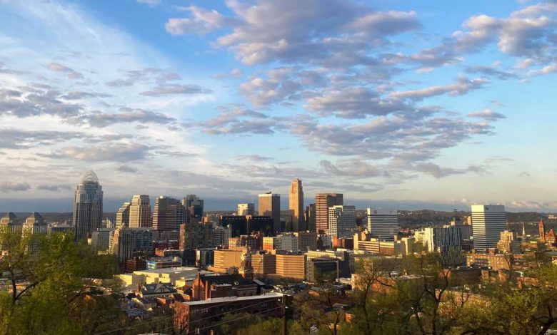
Sunshine and warmer temperatures to move through Cincinnati before storms return
After a beautiful afternoon, we are looking great for this evening and tonight.

Updated: 7:58 PM EDT May 8, 2022
SATURDAY. SO WE WERE TALKING ABOUT NICER WEATHER COMING IN FROM MOTHER’S DAY AND IT REALLY TURNED OUT TO BE A BEAUTIFUL DAY INDEED PLENTY OF SUNSHINE A LITTLE BIT COOL THIS MORNI,NG BUT THEN GOT EVEN BETTER FOR THIS AFTERNOON AS 60S RETURN TEDO THAT FORECAST PLENTY OF DRY TIME LEFT OVER IN THIS FORECAST AS WE ALLS WARM AIR. EVEN WARMER THAN TODAY SURGES IN OVER THE COMING DAYS AND THEN WE WILL WATCH FOR A LATE WEEK STORM CHAN,CE BUT THAT IS WAY OFF IN THE FUTURE. SO FOR NOW, LET’S ENJOY THE WEATHER WE HAVEOW N WHILE IT IS DRY. WE’RE STILL WATCHING THAT, OHIO RIVER FORECAST CURRENT STAGE JUST ABOUT 41 AND A HALF FEET. IT'’ EXPECDTE TO CREST WEDNESDAY AFTERNOON JUST AROUND 49 FEET NOW THAT’S GOING TO AFFECT AREAS OF EL DORADO STREET AND CONEY ISLAND STARTING TO KIND OF CREEP UP AND YOU’LL NOTICE THAT RIVER IF YOU’RE DOWN ALONG THE BANKS, YOU’LL START TO SEE IT A LITTLE BIT HIGHER OVER THE NEXT FEW DAYS AS WELL. IT’ST JUS ALL THE REMNANTS OF THAT RAIN THAT HAS BEEN OUT THERE FROM THERI FDAY SYSTEM AND THEN SATURDAY JUST A FEW EARLY MORNING SHOWERS SIZE TODAY AS I MENTIONED PRETTY MUCH ALL OF US GETTING AROUND 69 DEGREES FROM CINCINNATI HAMILTON DOWN TO BATAVIA AND INTO OXFORD AT 68 WILMINGTON AT 65 THAT OUTER SKIRT AREA SEEING A LITTLE BIT OF THOSE COOLER TEMPERATURES ANTH HERE IN THE METRO. SEEING A FEW HIGH LEVEL. MOVING IN THERE ON SATELLITE DATA, BUT OTHERWISE REALLY NOT MUCH TO TRACK OUT THERE RAIN ALL THEAY W OUT INTO PARTS OF IOWA AND INTO PARTS OF WISCONSIN, BUT WE’RE NOT EVEN WORRIED ABOUT THAT YET IN THE FORECAST EITHER LIKE I MENTIONED WE’RE GONNA BE KEEPING IT ON THE DRY SIDE WITH THAT SUNSHINE CONTINUING YOU’RE SEEING A LITTLE BIT OF THAT SUN GETTING BLOCKED OUT BY THOSE CLOUDS BUT TEMPERATURES RIGHT NOW SITTING AT 68 DEGREES. SO JUST A DEGREE UNDER WHERE WE WERE JUST A MOMENT AGO NORTHEAST WINDS AROUND 10 MILES AN HOUR. THAT’S GONNA ADD A LITTLE BIT OF CHILL TO THE LATER ON TONIGHT, BUT OVERALL STILL SITTING IN THOSE UPPER 60S EVEN A 70S THERE IN PARTS OF BROOKSVILLE AND 68 OVER THERE IN DILLSROBO AS WE LOOK AT FUTURECASTS, REALLY NOT A LOT TO TRACK BESIDES A FEW CLOUDS HERE THROUGH THE OVERNIGHT INTO YOUR MONDAY MORNING WITH SUNNY SKIES, THEN THROUGHOUT THE DAY MONDAY INTO TUESDAY ALMOST GOING TO SOUND LIKE A LITTLE BIT OF A BROKEN RECORD HERE IN THE FORECASTS A WELL BECAUSE IT’S JUST A LOT OF THE SAME DRY WEATHER ITHN E FORECAST. SO TONIGHT AS I MENTIONED A LITTLE BIT ON THE COOLER SIDE MILD AS WEET G DOWN INTO THE LOWER 50S THOSE EAST WINDS MAKING IT FEEL JUST A BIT COOLER OUT THERE, BUT THEN BY TOMORROW THOSE TEMPERATURES GETNGTI INTO THE 70S EVEN INTO THE UPPER 70S WITH PLENTYF O SUNSHINE ALSO HAPPENING TOMORROW AS THE REDS SWITCH NOW TO TAKE ON THE EWBRERS. THERE’S BARK IN THE PARK COMING IN ON MONDAY. IT’S GONNA BE A BEAUTIFUL DAY FOR THAT FIRST PICTURE ON SIX FORTY THOSE 70S IN THE FORECAST BY THE LAST INTO E THGAME WE’RE TALKING ABOUT 470S GETTING CLOSER INTO THE 60S WITH CLEAR SKIES REMAINING OVER THE NEXT WFE DAYS I MENTIONED BEFORE IT’S GOING TO SOUND A LITTLE BIT LIKE A BROKEN RECORD HERE. WE HAVE 80S IN THE FORECTAS THAT’S GONNA BE ABOUT 10 DEGREES ABOVE OUR AVERAGE FOR THIS TIME OF YREA PLENTY OF SUNSHINE, BUT THEN IT’S NOT UNTIL THE END OF THE WEEK INTO NEXT WEEKEND WHEN WE START TO SEE A LITTLE BIT OF A STORM CHANCE CREEP BK
Sunshine and warmer temperatures to move through Cincinnati before storms return
After a beautiful afternoon, we are looking great for this evening and tonight.
Updated: 7:58 PM EDT May 8, 2022
After a beautiful afternoon, we are looking great for Sunday evening and Sunday night. Temperatures will slowly fall through the 60s and end up into the 50s overnight with mostly clear skies. As we head into the workweek, our dry streak continues with plenty of sunshine lasting all week long and even warmer air moving in. By Monday, highs will be in the 70s and then from Tuesday onward we'll be talking about 80s showing up in the forecast with overnight lows generally around the upper-50s.Our next chance for rain and a few storms doesn't arrive until next Saturday. Enjoy this beautiful Spring weather we have been waiting for!
After a beautiful afternoon, we are looking great for Sunday evening and Sunday night. Temperatures will slowly fall through the 60s and end up into the 50s overnight with mostly clear skies.
As we head into the workweek, our dry streak continues with plenty of sunshine lasting all week long and even warmer air moving in.
By Monday, highs will be in the 70s and then from Tuesday onward we'll be talking about 80s showing up in the forecast with overnight lows generally around the upper-50s.
Our next chance for rain and a few storms doesn't arrive until next Saturday.
Enjoy this beautiful Spring weather we have been waiting for!
Source link