- The ongoing heavy rain will continue to create areas of flash flooding, with urban areas, roads and small streams the most vulnerable.
- The storm brought much-needed moisture to the broader region that’s been gripped by drought.
- The same storm is predicted to produce a swath of strong winds from the deserts to the central and southern Plains Wednesday.
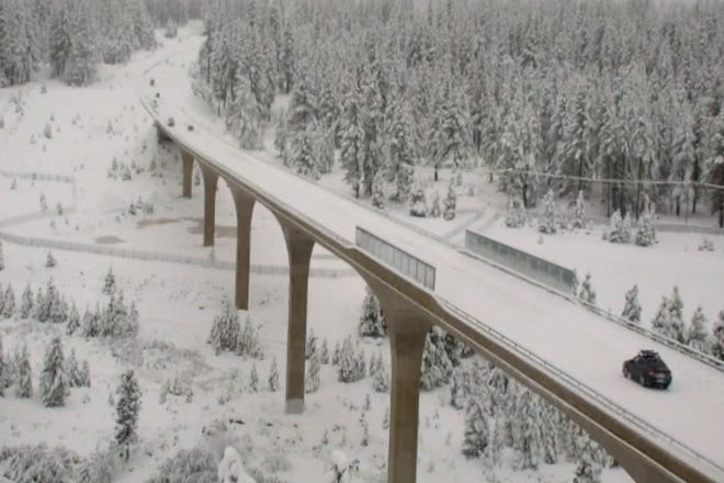
A powerful storm walloped California with heavy rain and snow on Tuesday, as several inches of rain fell in the Los Angeles area and up to 8 feet of snow was expected in the Sierra Nevada.
The storm wreaked travel havoc across the state due to the rain and snow. It also raised the threat of mudslides in areas scarred by wildfires, prompting evacuation orders in southern California.
Nearly 7 inches of rain fell before dawn in one area of Santa Barbara County, northwest of Los Angeles, the National Weather Service said. The ongoing heavy rain will continue to create areas of flash flooding, with urban areas, roads and small streams the most vulnerable, the Weather Service said.
Further north, in the central Sierra Nevada, a whopping 2 to 4 feet of snow was forecast to pile up with local amounts to 6 to 8 feet over the highest elevations by Tuesday night, AccuWeather said.
Start the day smarter:Stay up to date with this story. Get USA TODAY's Daily Briefing in your inbox
"It’s just so bad and so thick,” said California Highway Patrol Officer Carlos Perez about the snow-covered roads around Lake Tahoe. “We’re telling people that if they don’t need to be around this area, they probably shouldn’t travel.”

The storm brought much-needed moisture to the broader region that’s been gripped by drought. The latest U.S. drought monitor shows parts of Montana, Oregon, California, Nevada and Utah are classified as being in exceptional drought, which is the worst category.
After hitting California, the storm will move into the Southwest and pack enough moisture for a thorough soaking around Las Vegas, while a couple of showers are likely to dampen the roads around Phoenix, AccuWeather said.
Storm to pound central USwith strong winds Wednesday
The same storm is predicted to produce a swath of strong winds from the deserts to the central and southern Plains Wednesday. Not only will winds be strong enough to kick up dust and raise the risk of wildfire ignition and rapid spread, but also the potential for local to regional power outages, AccuWeather warned.
A Weather Service forecast office in Nebraska warned of 70-mph gusts, adding that "travel will be difficult, especially for high-profile vehicles. Trucks may be blown over. Holiday decorations will be damaged or blown away."
The Weather Service also predicted that daily high temperatures will skyrocket to over 30 degrees above average on Wednesday throughout the Plains and Mississippi Valley. "With spring-like highs anywhere from the 50s and 70s in the forecast, over 50 daily high records stand to be broken on Wednesday," the Weather Service said.
A few severe thunderstorms are also possible Wednesday and Wednesday evening in portions of Minnesota, Iowa and Missouri, the Storm Prediction Center said. "The hazards associated with these thunderstorms are frequent lightning, severe thunderstorm wind gusts, hail and a few tornadoes," the Weather Service added.
Contributing: The Associated Press
Source link


