
Heavy rain is kicking off the week and is is expected to stick around through Wednesday as remnants of Hurricane Ida make their way to Cincinnati.LIVE RADAR // LATEST WEATHER ALERTSScattered rain and storms kick off the day Monday. Plan on humid conditions with temperatures staying in the low 80s. Heavy rain will be a concern through the afternoon and evening, creating the potential for flash flooding issues.A flash flood watch is in effect through 4 a.m. Tuesday.A cold front is still set to arrive to the region Tuesday into Wednesday. This front and that leftover tropical moisture from Hurricane Ida have the potential to allow for some areas to see heavy rainfall, especially in far eastern and southeastern counties. Over the next 48 hours, areas north of the river will average 1 to 2 inches of rain. To the south and southeast, there will be towns that see 2 to 4 inches before we get to noon on Wednesday.Wednesday is when the changeover happens, from rain in the morning to comfortable conditions by the evening. Sunshine and pleasant air take over on Thursday and Friday with highs only in the 70s.For Labor Day weekend, the humidity starts to nudge back up by Sunday evening. There will be some scattered rain on Saturday and Sunday but Monday is looking dry.
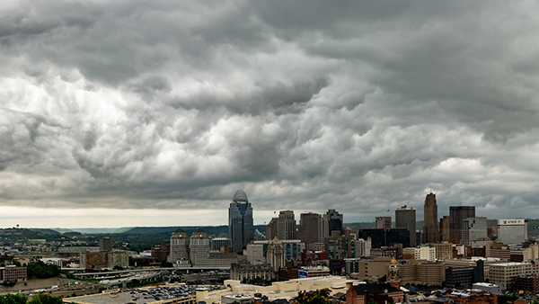
Heavy rain is kicking off the week and is is expected to stick around through Wednesday as remnants of Hurricane Ida make their way to Cincinnati.
LIVE RADAR // LATEST WEATHER ALERTS
Scattered rain and storms kick off the day Monday. Plan on humid conditions with temperatures staying in the low 80s. Heavy rain will be a concern through the afternoon and evening, creating the potential for flash flooding issues.
A flash flood watch is in effect through 4 a.m. Tuesday.
A cold front is still set to arrive to the region Tuesday into Wednesday. This front and that leftover tropical moisture from Hurricane Ida have the potential to allow for some areas to see heavy rainfall, especially in far eastern and southeastern counties.
Over the next 48 hours, areas north of the river will average 1 to 2 inches of rain. To the south and southeast, there will be towns that see 2 to 4 inches before we get to noon on Wednesday.
Wednesday is when the changeover happens, from rain in the morning to comfortable conditions by the evening. Sunshine and pleasant air take over on Thursday and Friday with highs only in the 70s.
For Labor Day weekend, the humidity starts to nudge back up by Sunday evening. There will be some scattered rain on Saturday and Sunday but Monday is looking dry.
Source link


