
It's going to be warm in parts of the Midwest and Northeast on Friday, with high temperatures in the 70s and 80s in some areas and a handful of communities on track to approach 90 degrees.
But while those parts of the country get a taste of summer, a cold front moving through the Plains will spawn a line of thunderstorms that could turn severe.
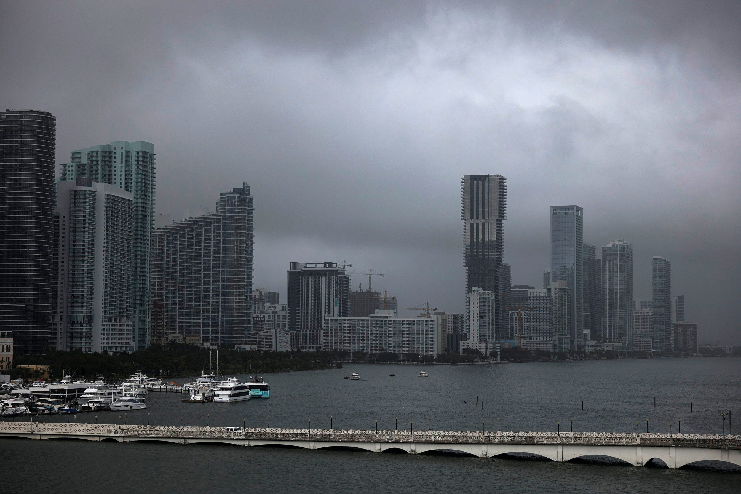
Florida residents who have coped with flooding from historic storms could get a reprieve Friday, when storms are expected to be scattered and rainfall totals relatively low – but heavy rainfall that develops could lead to additional flooding.
And winter weather is still in the mix in parts of the West and the Rockies.
Just another day of spring weather around the United States. Here's what you need to know.
Midwest storms
A low pressure system should develop over the Plains Thursday night, according to the National Weather Service, and the cold front should begin to push through the Plains and upper Midwest on Friday morning.
Showers and thunderstorms are likely on Friday across the area, according to forecasters, and there's a slight risk of severe weather in the central Plains, where storms could produce large hail and damaging winds.
Some residents in this region, largely in New Mexico, Texas and Oklahoma, could also have to contend with dry and windy conditions on Friday, leading to an increased risk of fires.
A red flag warning “means that critical fire weather conditions are either occurring now ... or are expected to develop,” the National Weather Service explained, citing a combination of strong winds, low relative humidity and other factors.
The conditions are taxing fire departments in areas including Wisconsin, where 21 wildfires were reported on Wednesday and nearly 80 have occurred in the past week.
In Wisconsin:100-acre fire in town of Necedah was one of many wildfires in Wisconsin
Record highs possible in Northeast
It could feel like summer in parts of the northeast on Friday.
Temperatures are expected to be 25 to 35 degrees above the average for this time of year, with record-breaking highs possible from parts of the Great Lakes through southern New England, according to the National Weather Service.
High temperatures in the mid-Atlantic and southern New England area could get close to 90 degrees on Friday, forecasters said.
By Saturday, those temperatures should drop but will likely be well above average, the National Weather Service said.
Snow, heat in west
Snow showers are expected in parts of the Rockies, with heavy accumulations possible in Colorado's central Rockies, forecasters said.
The snow should taper off by Friday afternoon or evening.
Aside from some light showers in the forecast for the Pacific Northwest, the rest of the region should remain dry, according to the National Weather Service. A warmup is possible in part of the region on Saturday, when high temperatures should approach the 70s in parts of California and the 80s in parts of the Southwest.
US weather watches and warnings
National weather radar
Source link


