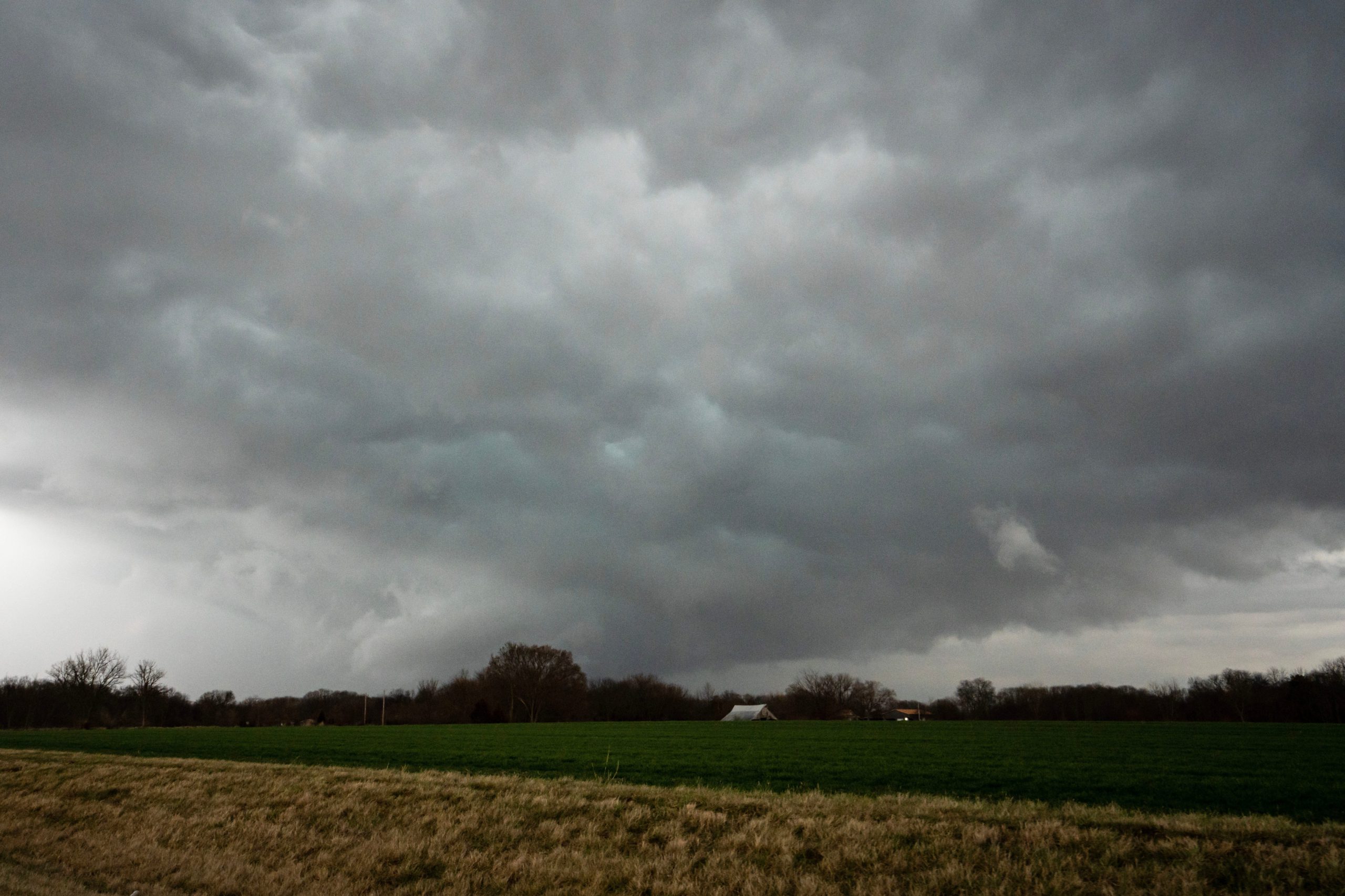

About 40 million Americans are at risk of severe weather Thursday, forecasters say, marking the second consecutive day tornado and storm watches will be in effect for the central U.S.
The Plains region has been the focal point for extreme weather throughout the week, and Wednesday was no exception: Tornado watches were issued throughout the region during the day, and Wednesday night, a severe storm spawned reported tornadoes in central Oklahoma, leading to several injuries and at least one death, according to the Associated Press.
For some in the central U.S. who aren't threatened by severe weather on Thursday, the risk remains for flooding, fast-developing wildfires and heavy snow.
Residents in the East and South should enjoy unseasonably warm temperatures.
Here's what to know about the national weather forecast for Thursday:
Severe storm, tornado watch
The potential for severe weather exists throughout the eastern portion of the Plains through Thursday night, according to the National Weather Service.
"Strong thunderstorms will once again develop with high potential of excessive rain-rates and severe weather potential," the NWS said.
The possibility of severe thunderstorms, which can include hail, downpours and tornadoes, will stretch from southern Wisconsin through central Texas, according to AccuWeather. However, a moderate risk is in place for:
- Southern Missouri
- Nearly all of Arkansas, including Little Rock
- Eastern Oklahoma
- Northeast and central Texas, including Dallas; Severe thunderstorms could approach Houston by late Thursday night.
"Severe winds, hail, isolated tornadoes and scattered incidents of flash flooding are possible across this region through Thursday evening into Friday morning," the NWS said.
Flash floods possible in eastern Texas, Louisiana
Along with the areas under moderate risk of severe weather in the central U.S., flash flooding is possible beginning Thursday night in:
- Eastern Texas
- Louisiana
- Arkansas
- Northwest Mississippi
- Western Tennessee
- Southeast Arkansas
- Western Kentucky
- Southern Illinois
- Southern Indiana
"Localized flash flooding is also a possibility from Thursday night to Friday night in urban areas and in poor drainage locations," AccuWeather said.
'Critical' fire weather continues in New Mexico, other states
New Mexico and its surrounding areas have been on red flag warnings throughout the week, but good news may be coming soon: Thursday is the last day "critical" fire weather conditions are expected in the region, according to the NWS.
"Behind the dryline across the Southern High Plains, strong winds and dry/hot weather continue to pose a critical fire weather risk as forecast by the (Storm Prediction Center), across much of New Mexico and the Texas/Oklahoma Panhandles and adjacent regions of Colorado and southwest Kansas and western Oklahoma," the NWS said. "Red flag warnings are posted for much of this area, any fires could rapidly spread given this dry high wind environment."
Red flag warning map
Heavy snow in North Dakota, Minnesota
There's potential for heavy snowfall across northern North Dakota and Minnesota beginning Thursday morning into the afternoon, as the NWS issued a winter storm watch through Friday morning.
"Rain and snow will be the initial precipitation type on Thursday before changing over to primarily snow Thursday night," the NWS said. "Snow that accumulates will be heavy and wet."
Winter storm map
East Coast heats up
The roller coaster of temperatures will continue in the East, as the region went from having warm weather to a "major cooldown" in less than a week. Temperatures have been on the rise in the southeast and now the heat is extending north, with parts of Virginia expected to reach 90 degrees Thursday.
Here are some of the forecast highs in the East:
- Washington, D.C.: 87
- Charlottesville, VA: 91
- New York: 68
- Philadelphia: 78
- Charlotte: 86
- Atlanta: 84
US weather watches and warnings
National weather radar
Follow Jordan Mendoza on Twitter: @jordan_mendoza5.


