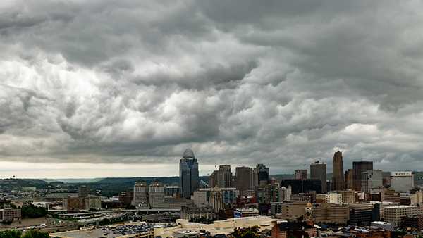

The second week of the new year is starting off wet with rain moving across the Tri-State. After a frigid Saturday morning low of 12 degrees, temperatures have warmed up through the 30s and will eventually rise into the 40s during the evening and overnight hours.There could be heavy rain at times overnight as Gulf moisture streams into our area. Many locations could pick 1 inch or more before the rain tapers off from east to west by mid to late morning.After the front passes Sunday, the clouds will be slow to clear out until the evening. Our winds will become northwesterly and temperatures are likely to drop a few degrees bringing it back into the mid-30s for Sunday afternoon.The Greater Cincinnati and Tri-State will have another cold snap as the morning lows into the low to mid-teens and afternoon highs in just the upper 20s on Monday and Tuesday.Most of the upcoming work week should remain dry until Friday night when another round of rain will head our way.
The second week of the new year is starting off wet with rain moving across the Tri-State.
After a frigid Saturday morning low of 12 degrees, temperatures have warmed up through the 30s and will eventually rise into the 40s during the evening and overnight hours.
There could be heavy rain at times overnight as Gulf moisture streams into our area.
Many locations could pick 1 inch or more before the rain tapers off from east to west by mid to late morning.
After the front passes Sunday, the clouds will be slow to clear out until the evening.
Our winds will become northwesterly and temperatures are likely to drop a few degrees bringing it back into the mid-30s for Sunday afternoon.
The Greater Cincinnati and Tri-State will have another cold snap as the morning lows into the low to mid-teens and afternoon highs in just the upper 20s on Monday and Tuesday.
Most of the upcoming work week should remain dry until Friday night when another round of rain will head our way.
Source link


