
- Nicholas reached shore 70 miles from where historic Hurricane Harvey made landfall in 2017 – and actually closer to Houston.
- Nicholas threatened to swamp much of the Deep South in flooding on Tuesday.
- Some areas could see 20 inches of rain.
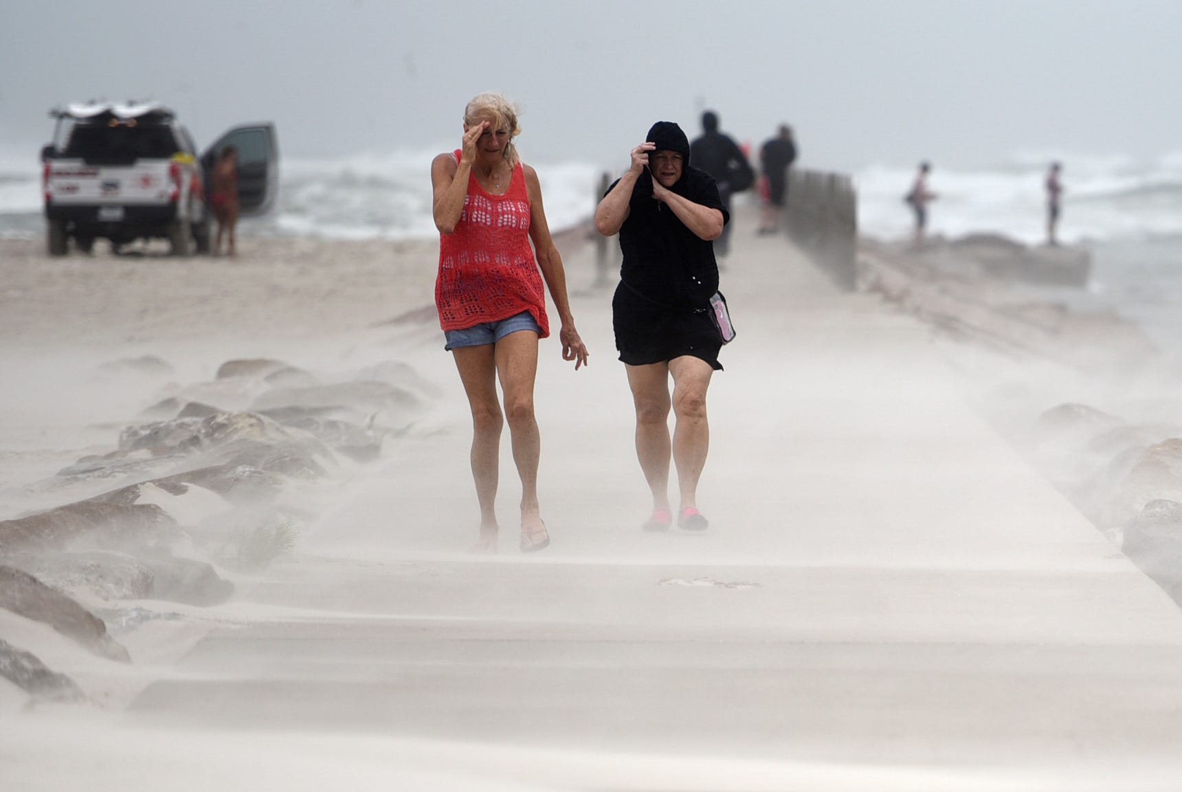
Hurricane Nicholas slammed across the Texas coast early Tuesday, crashing onto land along the Matagorda Peninsula with torrential rains and storm surge and threatening to envelop much of the Deep South in flooding.
The storm's winds eased slightly as it crossed land, and Nicholas was a tropical storm Tuesday morning with sustained winds of 60 mph. The storm's center was just 15 miles southwest of Houston.
Nicholas reached shore 70 miles from where historic Hurricane Harvey made landfall in 2017 – and actually closer to Houston, which was overwhelmed by that Category 4 monster's deadly flooding. On Tuesday, Matagorda was quickly awash in storm surge and flooding as Nicholas rolled in.
"Nicholas could cause life-threatening flash floods across the Deep South during the next couple days," National Hurricane Center specialist Eric Blake warned.
Power outages sweep across Houston area
Almost 500,000 Texas homes and businesses were without power Tuesday morning, most in and around the Houston metropolitan area. Almost 100,000 more were dark in Louisiana, although the vast majority of that outage was a remnant of Hurricane Ida's devastation two weeks ago.
Nicholas is expected to produce additional rainfall of 5 to 10 inches from the upper Texas coastal area into central to southern Louisiana, far southern Mississippi and far southern Alabama. Isolated storm totals could reach 20 inches, forecasters said.
Galveston already reported 14 inches of rain; parts of Houston had more than 6 inches.
Texas Gov. Greg Abbott mobilized teams of swift-water boats and helicopters to assist local authorities along the Gulf Coast with any rescue efforts associated with flooding and high winds. He urged residents of the region to follow directives issued by local authorities.
Hurricane Nicholas: Storm brings powerful winds, threatening rainfall to Gulf Coast
Flash-flooding warnings issued across much of region
The greatest risk to lives and property will be from flooding rainfall, AccuWeather warned. With the forecast track of Nicholas, the heaviest rain will end up over a broad area to the north and northeast of the center of the storm and that includes a large portion of southeastern Texas and part of Louisiana.
"People who are in the region affected by the storm need to be prepared for extreme high-water events, including flooding and potential damage caused by the rainfall," Abbott said. "And there's always the possibility that other storms, such as tornadoes being spawned."
The storm should move slowly to the northeast later Tuesday and then eastward by Wednesday over Louisiana, Blake said. Winds were expected to continue easing, and tropical depression status (sustained winds below 38 mph) was expected sometime Wednesday.
Swift-water boats, helicopters mobilized to assist in rescue and recovery
Tropical storms: Hurricane center monitoring 2 other systems in Atlantic
"Heavy rain will persist across southeast Texas, and will continue spreading into Louisiana," AccuWeather Senior Meteorologist Adam Douty said.
Coastal Louisiana, still cleaning up from Ida, was a major concern. Gov. John Bel Edwards reached out to President Joe Biden, who declared an emergency in Louisiana and ordered federal assistance.
"Homes are already damaged, people are displaced, and storm debris could be blocking drainage systems, causing rainwater to accumulate more quickly than normal, which could enhance the flooding threat," Edwards warned.
Track Tropical Storm Nicholas' path
Contributing: John C. Moritz, Corpus Christi Caller Times
Source link