SHARONVILLE — Are you looking for new work?
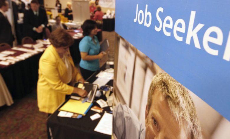
WCPO just co-hosted one of the biggest job fairs in the Cincinnati area, the Superior Career Fair, with more than 100 local employers.
And if you missed it, you still have opportunities to apply.
"Help wanted" signs were everywhere at the Sharonville Convention Center on Friday, where companies from across the region were hoping to hire people like Jackie Brooks of West Chester.
"I just left Macy's after 28 years and am starting a new career path," Brooks said.
It's a good time for her to start a new career.
Among the companies hiring:
- Jeff Wyler Automotive Group
- Standard Aero jet engine repair.
What job fairs like this show is that it's not just restaurants that are desperate to hire right now.
If you are looking for work, the opportunities are almost endless here in the Cincinnati area, from high tech to health care to automotive to office support work.
For hopefuls like Alex Hernandez, it was a great break from months of Zoom job interviews.
"I've been applying for jobs online and it just doesn't have that same feel," he said.
Plus, you get to go home with some great swag from many of the companies.
So if you are thinking of a career change, now is the best time in years to reach out to some of these companies.
Jackie Brooks says the fair was well worth her time.
"I was able to talk to a lot of people," she said, "and I hope something works out for me."
If you missed it and want to apply to some of those companies, CLICK HERE for more information on Superior Career Fairs, or visit the website of the companies listed above.
______________
Don't Waste Your Money" is a registered trademark of Scripps Media, Inc. ("Scripps").
Like" John Matarese Money on Facebook
Follow John on Instagram @johnmataresemoney
Follow John on Twitter (@JohnMatarese)
For more consumer news and money saving advice, go to www.dontwasteyourmoney.com