
Ohio, Kentucky and Indiana have never been accused of being mountainous states.
But a recent listing of all the highest peaks in the U.S. had Ohio looking pretty boring.
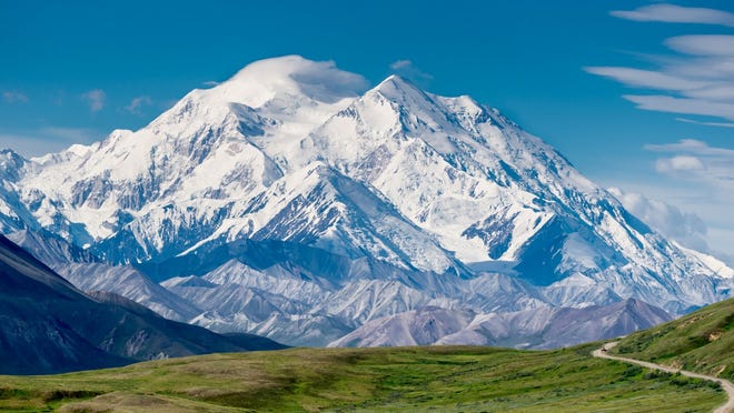
The highest peaks in the U.S. range in elevation from just 345 feet in Florida to 20,320 feet in Alaska, USA TODAY reported.
The gallery — which you can see at the top of this story — has Ohio's highest mountain to climb as ... Campbell Hill.
Kentucky came out as way cooler this round. Out of our three nearby states, Kentucky has the highest peak and the lowest point of elevation, as well.

Kentucky
- Highest peak: Black Mountain
- Elevation above sea level: 4,145 feet

Ohio
- Highest peak: Campbell Hill
- Elevation above sea level: 1,550 feet
Indiana
- Highest peak: Hoosier Hill
- Elevation above sea level: 1,257 feet
Go climb a mountain: The highest peak in every US state
What about the lowest points?
These spots are on or near the rivers that make up the borders of our states.
The lowest surface elevation in Ohio is about 455 feet above sea level and is located where the Ohio River exits the state at the extreme southwestern corner, according to the Ohio Department of Natural Resources.
It's a quick drive to get to the spot where Kentucky, Indiana and Ohio come together but you'll need a boat to reach it.
In Kentucky, the bottom of the Vulcan Mineral's limestone quarry in Livingston County is known as the lowest point in the Commonwealth at -90.3 feet below sea level, according to the Kentucky Geological Network.
But if you ask the U.S. Geological Survey, it said the lowest point in Kentucky is the Mississippi River at Fulton County, at 257 feet above sea level.
The lowest point in Indiana is the Ohio River in Posey County, which is west of Evansville, at 320 feet above sea level, according to USGS.
Source link


