If you've been noticing more colorful sunsets and a haze on the horizon in Greater Cincinnati, you can blame wildfire smoke.
According to the National Weather Service's High-Resolution Rapid Refresh Smoke model, the smoke has reached the Greater Cincinnati area.
The map does not show smoke just at the surface. It shows vertically integrated smoke - the total smoke from the ground up through the atmosphere.
"These measurements are mapped to a three-dimensional grid that extends nearly 16 miles into the atmosphere. What results is a detailed forecast of the amount of smoke produced, the direction it should travel, and its plume height," according to NASA.

Due to the height of the smoke, it will likely cause hazy skies and very colorful sunsets due to the particles in the atmosphere.
Meteorologist Matthew Cappucci in Washington D.C. told his viewers to expect a "thin milky veil overhead."
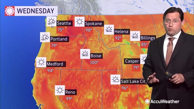
Fires have erupted across the Western United States and Canada, due in part to drought and near-record heat.
More than 16,000 firefighters are combating at least 68 major fires in 12 states, the National Interagency Fire Center said. More than 1 million acres – almost 1,600 square miles – were ablaze.
Long-range forecasts call for temperatures to increase over the weekend and into next week, USA TODAY reported.
In Oregon, the Bootleg Fire remained the nation's largest and continued to rapidly grow. Fire officials said it might take more than four months to fully contain the blaze. More than 300 square miles have burned – an area more than twice the size of Portland – and the National Guard was called in to help with road closures and traffic control.
Source link


