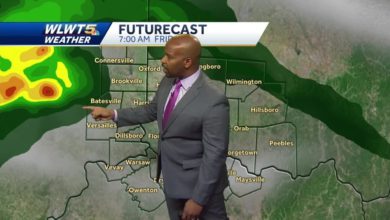

The rain isn't over yet.
The National Weather Service said an "unsettled weather pattern" will continue in Greater Cincinnati, allowing for more showers and thunderstorms this week.
Forecasters said occasional showers and storms will be possible Tuesday, with the potential for locally heavy rainfall and localized flooding.
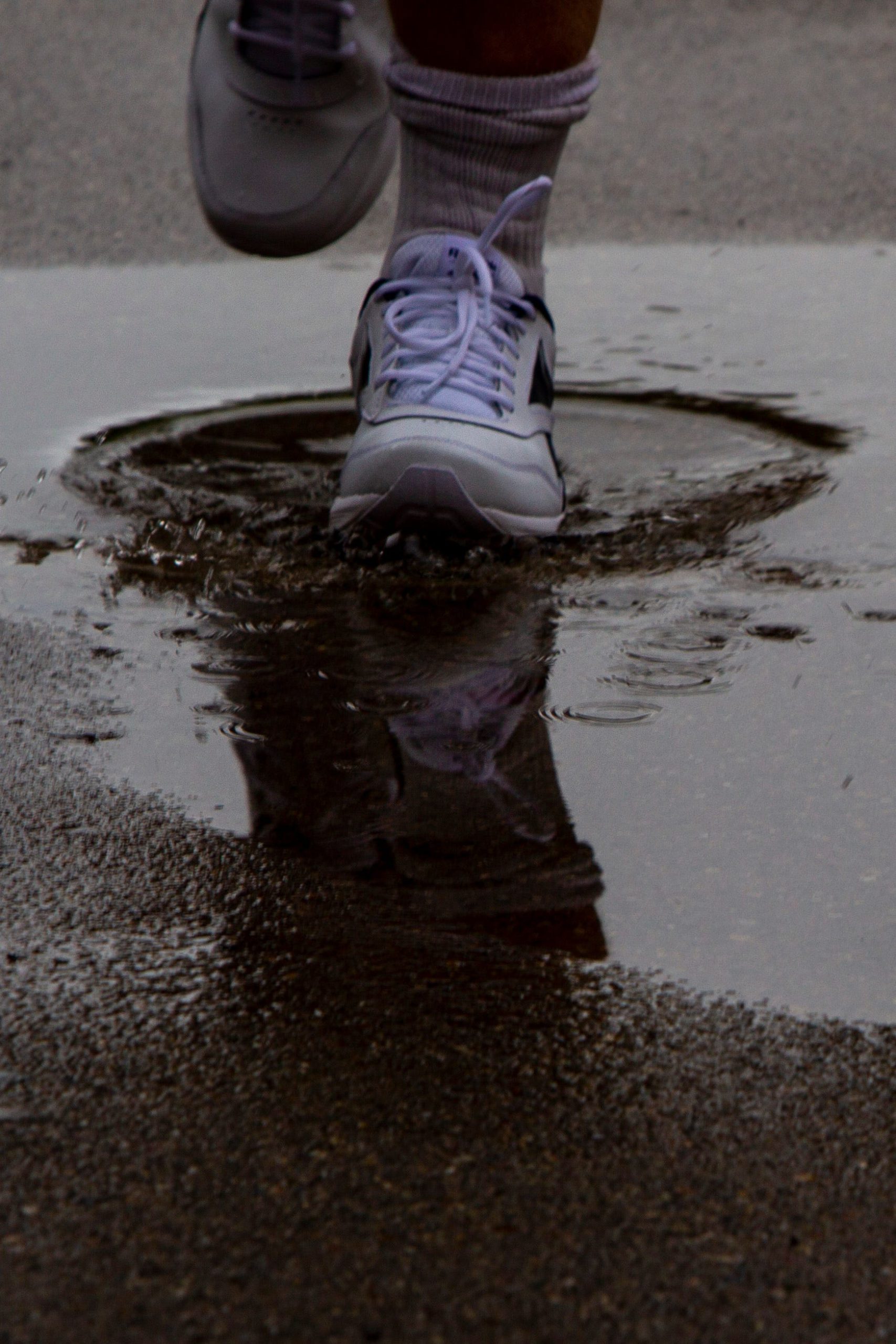
"Conditions are also favorable for intense heavy rain, so remain alert for flooded roads while driving (Tuesday)," forecasters said.
Greater Cincinnati will see a brief break in the rain on Wednesday evening into Thursday morning. Thursday will also likely be the warmest day of the week, with temperatures near 90.
More:Areal flooding vs. flash flooding: What's the difference?
Thursday night we will see "renewed potential for heavy rain and possible flooding in what will likely be clusters of thunderstorms persisting along a very slowly southerly-sagging frontal boundary," the National Weather Service said.
That boundary will stick around, forecasters said. More storms could bring the chance for localized flooding Friday and Saturday.
"The boundary stalls south in central Kentucky for late Sunday through the first part of the workweek, keeping at least a slight chance of periphery showers with isolated storms through early next week," the National Weather Service said.
Cincinnati forecast
Tuesday: Showers and thunderstorms likely, then showers and possibly a thunderstorm after noon. High near 82. Overnight showers and possibly a thunderstorm. Low around 68.
Wednesday: A chance of showers and thunderstorms, mainly before 5 p.m. Mostly cloudy, with a high near 87. Overnight low around 70.
Thursday: A slight chance of showers and thunderstorms after 2 p.m. Mostly sunny, with a high near 90. Overnight slight chance of showers and thunderstorms. Partly cloudy, with a low around 72.
Friday: A chance of showers before 8 a.m., then a chance of showers and thunderstorms between 8 a.m. and 2 p.m., then showers likely and possibly a thunderstorm after 2 p.m. Partly sunny, with a high near 88. Overnight showers likely and possibly a thunderstorm. Mostly cloudy, with a low around 70.
Saturday: Showers likely, with thunderstorms also possible after 2 p.m. Mostly cloudy, with a high near 84. Overnight chance of showers and thunderstorms. Mostly cloudy, with a low around 69.
Sunday: A chance of showers. Partly sunny, with a high near 86. Overight low around 67.
Forecast provided by the National Weather Service at Wilmington.
Source link